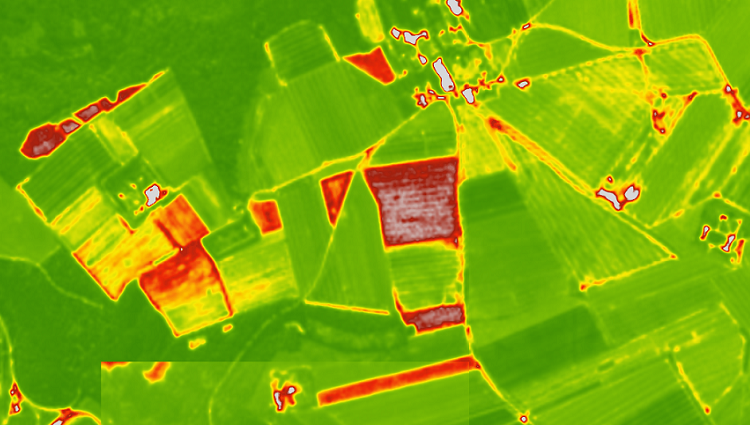
NDVI For Vegetation Health
From SAR 18.75
Delivery: 24 hours
Delivery: 24 hours
Description
NDVI, or Normalized Difference Vegetation Index, uses satellite imagery to assess vegetation health in agriculture. It helps monitor crop health, predict yields, manage fields efficiently, and evaluate drought or flood impacts. By analyzing the reflectance of light in near-infrared and red bands, NDVI provides insights into plant vigor and stress. This data supports precision agriculture, enabling better resource use, timely interventions, and sustainable farming practices by offering wide coverage and frequent, non-invasive monitoring.
View sample NDVI Analytics